Custom Field Type: Special - Geo Mapping
From SmartWiki
Contents
General Description
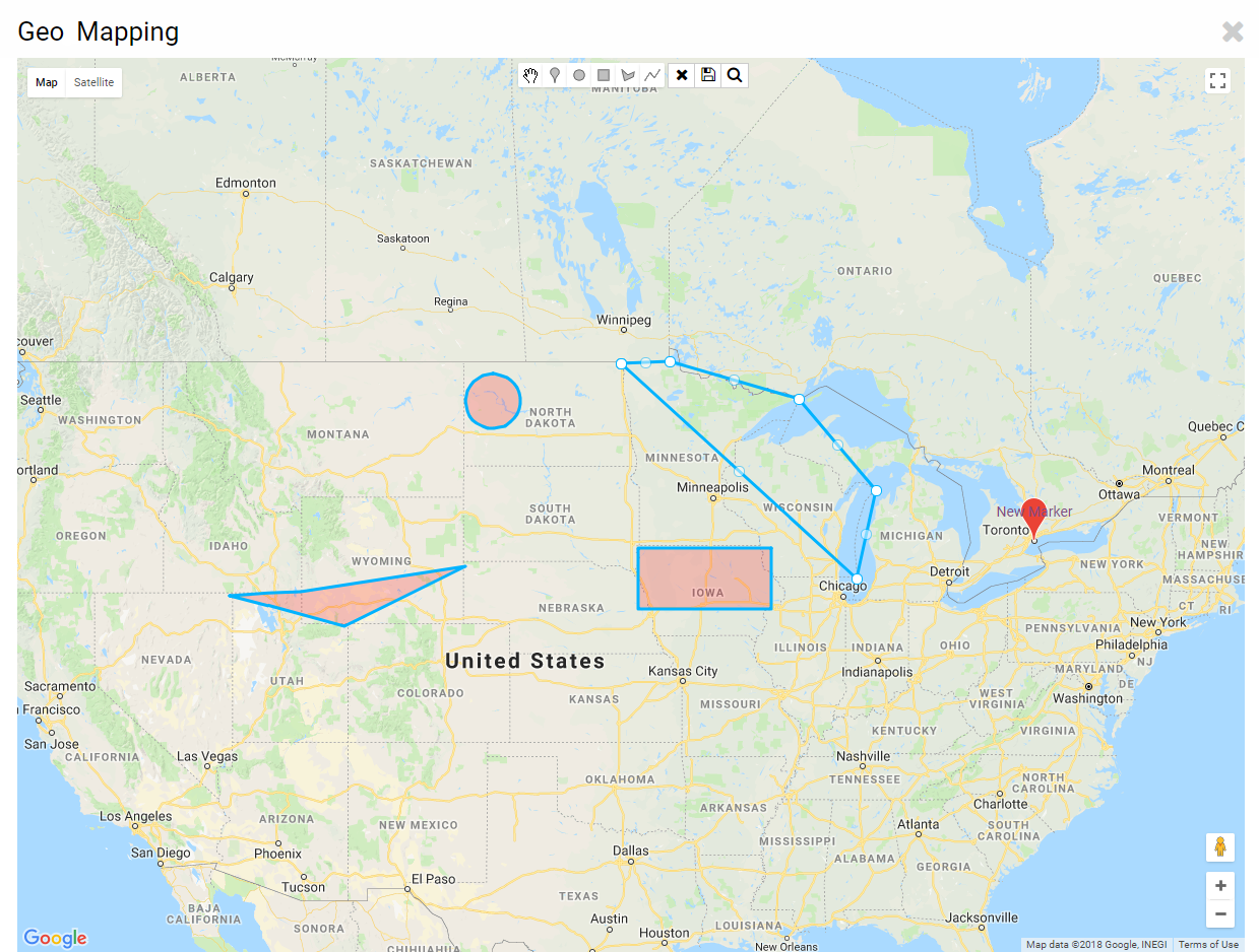
Geo Mapping enables the highlighting of geographic locations of your choosing.
Field Illustrated
Field Options
| Option | Description | Format |
|---|---|---|
| Custom Field ID | The unique ID number associated with the custom field. | Not Applicable |
| Field Type | The list of available Field Types. | @fieldtype@ |
| Field Name | The name of the field, used internally to reference the user's input; | @fieldname@ |
| Caption | The leading question or prologue before the field. | @caption@ |
| Display Order | The order (relative to other fields) in which this field is displayed. | @displayorder@ |
| Description | Definition and general description of the custom field. Will not be displayed. | @description@ |
Map Options
- Drawing Options: Enables the respective drawing options.
- Fill Color: Color of area drawn.
- Stroke Color: Color of strokes.
- Stroke Width: Thickness of strokes.
Validation
- Mandatory: Selecting this option means that this field is required and must be completed.
- Appear Mandatory: Makes the field appear as though it is a required field. Typically used in conjunction with browser scripts, JavaScript Validation or Submit Logic that perform validation.
- Custom Validation:
- Failed Validation Message: Message displayed if validation fails.
Feature Options
- Track Changes: Keeps track of changes made to this field.
Value Storage
- From Custom Field(s): The custom field that value(s) will be taken from.
- To Custom Field: The custom field that value(s) will be sent to.
Permissions & Availability Tab
- Field Permission Matrix: See the Field Permission Matrix Wiki page.
- Role - Field Permissions: These settings allow you to control by Role who is allowed to view and/or modify the field.
- Status - Field Permissions: These settings allow you to control by the Status of the record whether or not the field can be viewed and/or modified. (Only present within the Universal Tracking Application)
- Type - Field Permissions: These settings allow you to control by the template of the record whether or not the field can be viewed and/or modified. (Only present within the Universal Tracking Application)
- Visibility Condition: See the Visibility Condition Wiki page.
- On New Record: Used to control when the field should be displayed.
